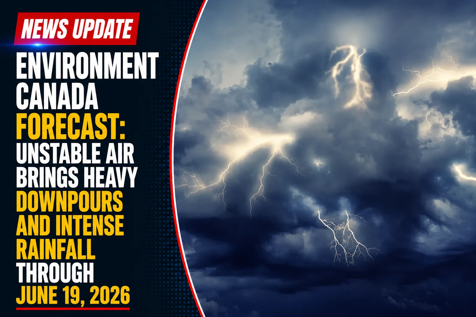
Environment Canada’s convective tracking network has expanded its short-range weather metrics across southern, northeastern, and northwestern Ontario. Tracked under the active public safety dossier The Environment Canada Multi-Day Convective Extension Forecast June 19, 2026, federal meteorologists updated the provincial hazard grid on Thursday morning, June 18, 2026. Following the high-velocity wind and storm lines that swept across the Greater Toronto Area (GTA) on Thursday, a secondary low-pressure trough is keeping the regional atmosphere highly unstable, extending the storm risks straight into Friday.
Regional public works teams and conservation authorities are keeping local water management systems on alert as back-to-back storm systems create a cumulative flooding threat for low-lying urban areas.
The Friday Scattered Convective Core and Rainfall Caps
The lingering system has shifted from a fast-moving, high-velocity wind line into a slower, moisture-heavy front capable of dropping intense, localized downpours.
The underlying meteorological data sheets itemize the specific weather patterns moving into the region:
-
The Atmospheric Extension: Rather than clearing out completely behind Thursday’s cold front, the low-pressure system has stretched its tail across the province, locking the Durham Region and the wider GTA into another grey-shaded thunderstorm alert zone.
-
High-Volume Precipitation: While the upcoming storm cells are more scattered than Thursday’s main line, any embedded system that stalls over a neighborhood has the capacity to drop up to 30 mm of rain locally.
-
The Hourly Drench Influx: Of particular concern to civic drainage engineers is the storm’s projected intensity. The system is packing a high-density core that could dump up to 20 mm of rain in a single hour, easily overwhelming municipal catch basins and underpass routes.
Analyzing the Multi-Region System Layout
The slow-moving unstable air mass is dividing its energy across three primary zones in the province, triggering different timelines for northern and southern infrastructure lines.
| Monitored Ontario Sector | Expected Peak Risk Window | Maximum Total Rain Volume | Primary Local Hazard Profile |
| Durham Region / GTA Grid | Friday Afternoon / Evening | Up to 30 mm Localized | 20 mm/hr downpour rates & flash pooling |
| Northeastern Ontario Hubs | Friday Daylight Hours | Up to 25 mm Scattered | Minor lightning delays & localized pooling |
| Far Northwestern Ontario | Friday Late PM / Overnight | Up to 20 mm Isolated | Isolated lightning tracks over rural grids |
Because Thursday’s storms have already saturated local soils and filled neighborhood ditches, regional conservation groups are warning that even minor afternoon showers could cause immediate water pooling on local roadways.
Commuters heading out for the Friday afternoon drive are advised to watch for sudden drops in visibility, leave plenty of stopping room between vehicles, and never drive through deeply pooled water on local streets or highway off-ramps.
Durham Region residents looking to track live radar developments, review updated storm timelines for their specific town, or report localized infrastructure flooding can access the national weather system online at weather.gc.ca.