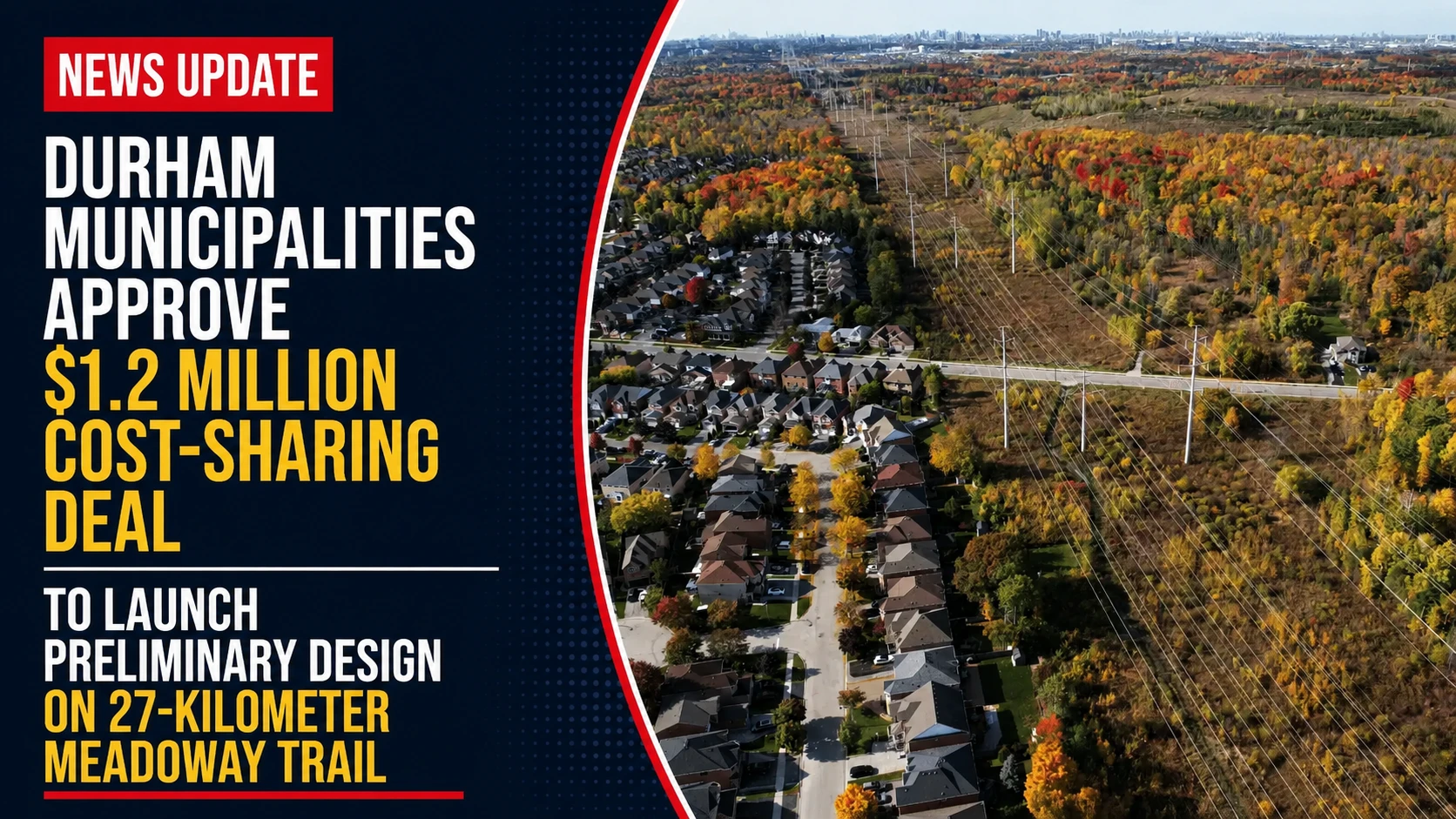
The regional planning networks, active transportation committees, and municipal finance panels across the Durham Region have successfully cleared a major hurdle for a massive greenspace project. Tracked under regional environmental and infrastructure registries on Wednesday, July 1, 2026, administrative staff finalized the financial models for the report Design study launched for regional trail network linking Oshawa to Rouge Park. By formalizing a binding cost-sharing agreement between four area municipalities and the upper-tier regional government, officials have officially greenlit a comprehensive $1.2 million preliminary design study to reimagine a massive, underused hydro utility corridor into a continuous, multi-use active transit spine.
The project is designed to bridge the gaps between existing neighborhood pathways, creating an uninterrupted nature route that will eventually allow commuters to travel entirely from central Oshawa straight to the heart of downtown Toronto.
The Meadoway Routing Blueprint and Structural Dynamics
The infrastructure plan maps out a 27.76-kilometer green highway that will transform single-use hydro lands into a public space.
-
The Shared Transit Line: The planned path runs west from the intersection of Simcoe Street and Winchester Road in north Oshawa. It enters Whitby, loops south near Cochrane Street down to Taunton Road, and continues west along the south side of the road. It then makes another turn south at Westney Road in Ajax before cutting west past Rossland Road to connect directly with Rouge National Urban Park at the Pickering-Toronto border.
-
Reclaiming the Infrastructure Grid: Designed by Toronto urban planning firm SvN Architects + Planners, the project converts an under-leveraged utility easement—which crosses 23 distinct neighborhoods, a 400-series highway, local golf courses, and multiple sensitive creek systems—into a multi-use pathway paved with pollinator-friendly green spaces.
-
The Procurement Timeline: With the funding packages locked in, the Region of Durham plans to issue an official Request for Proposals (RFP) to retain specialized engineering consultants this fall. Once the contract is awarded, the preliminary design study is scheduled for an 18-month completion window to lay out road crossings and finalize construction bids.
Analyzing the $1.2 Million Durham Meadoway Design Cost-Share
The proportional cost-sharing model distributes the financial load based on the physical mileage and neighborhood footprint inside each participating town.
| Participating Municipal Entity Node | Proportional Cost-Share Percentage | Individual Capital Funding Draw | Primary Local Trail Alignment Sector |
| City of Pickering | 25.87% Peak Split | $310,442 | Rouge Park border to Rossland corridor |
| Town of Whitby | 25.40% Split | $304,779 | Winchester infrastructure down to Taunton |
| Region of Durham (Upper-Tier) | 20.00% Fixed Split | $240,000 | Overarching procurement & project manager |
| City of Oshawa | 18.79% Split | $225,487 | Simcoe Street anchor & easterly terminus |
| Town of Ajax | 9.94% Base Split | $119,292 | Westney Road pathway connection loops |
| Total Project Capital | 100% Core Grid | $1,200,000 | Unified 27.76-Kilometer active corridor |
Durham Regional Chair John Henry highlighted the long-term potential of the project, noting that by tying directly into Toronto’s own active Scarborough Meadoway network, the trail system will establish a premier ecotourism asset for southern Ontario. Beyond its obvious recreational benefits, the completed trail will serve as a practical zero-carbon transit corridor, giving local students and daily commuters a safe way to travel between municipalities without having to rely on busy regional highways.
The Region’s active transportation office is heading up the joint project management team.
Durham cyclists, trail walkers, and local property owners looking to look over the original SvN visioning blueprints, check local neighborhood trail access maps, or track the upcoming fall RFP bidding timeline can find all public planning records online at durham.ca/meadoway.